Encyclopedia Dubuque
"Encyclopedia Dubuque is the online authority for all things Dubuque, written by the people who know the city best.”
Marshall Cohen—researcher and producer, CNN
Affiliated with the Local History Network of the State Historical Society of Iowa, and the Iowa Museum Association.
JOLLIET, Louis: Difference between revisions
No edit summary |
No edit summary |
||
| Line 5: | Line 5: | ||
Fearing contact with Spanish authorities in the region, the explorers headed northward toward the present site of Chicago. Jolliet's canoe later capsized on the St. Lawrence River, but he was able to reconstruct some of the lost maps from memory. The expedition lasted five months. | Fearing contact with Spanish authorities in the region, the explorers headed northward toward the present site of Chicago. Jolliet's canoe later capsized on the St. Lawrence River, but he was able to reconstruct some of the lost maps from memory. The expedition lasted five months. | ||
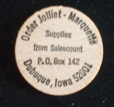
[[Image:jmc.jpg|left|thumb|150px|Trade Token. Photo courtesy: Bob Reding]] | [[Image:jmc.jpg|left|thumb|150px|Trade Token. Photo courtesy: Bob Reding]] | ||
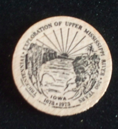
[[Image:jmc-2.jpg| | [[Image:jmc-2.jpg|right|thumb|150px|Trade Token. Photo courtesy: Bob Reding]] | ||
[[Category: Explorer]] | [[Category: Explorer]] | ||
[[Category: Trade Token]] | [[Category: Trade Token]] | ||
[[Category: Wooden Nickels]] | [[Category: Wooden Nickels]] | ||
Revision as of 03:59, 4 December 2010
JOLLIET, Louis. (Beaupre, Quebec, Canada-Sept. 21, 1645--Quebec, Canada, May 1700). French-Canadian cartographer and explorer. Together with Father Jacques MARQUETTE and a group of explorers, Jolliett was the first white man to view the present site of Dubuque, Iowa. Jolliett was chosen to explore and map the nearly unknown MISSISSIPPI RIVER and led the party that set out on May 17,1673. They paddled up the Fox River, portaged to the Wisconsin River, and then followed its course to the Mississippi.
The explorers saw the upper reaches of the river on June 17 and found that it flowed south and not west as they had hoped. The explorers met Native Americans at the mouth of the Arkansas River who told them the river emptied into the Gulf of Mexico.
Fearing contact with Spanish authorities in the region, the explorers headed northward toward the present site of Chicago. Jolliet's canoe later capsized on the St. Lawrence River, but he was able to reconstruct some of the lost maps from memory. The expedition lasted five months.


